Landslide Disaster Monitoring System — Lonjoboko Village
A community participation platform for reporting and monitoring landslide-prone conditions in Lonjoboko Village, Gowa Regency. Report immediately if you spot a potential hazard.
Submit ReportTotal Reports
3
In Progress
3
Resolved
0
Hazard Zones
0 Points
Digital Map
Loading map data…
Legend
- Landslide Hazard Zone
- High
- Medium
- Low
- Land Use
- Settlement
- Rice Field
- Open Area
- Mining
- Forest
- River Basin
- Village Assets
 Village Enterprise (Bumdes)
 Village Cooperative (Kopdes)
 Village Field
 Market
 Factory
 Mine
- IoT Sensor
- Normal
- Warning
- Danger
- Offline
- Community Reports
 Historic Landslide Points
 Assembly Point
- Evacuation Route
 Education Facilities
 Worship Facilities
 Health Facilities
Layers
Latest Reports
See All →Community-submitted content (report descriptions, locations, and reporter names) is written in Indonesian. Right-click any text and select 'Translate to English', or use your browser's built-in translate feature.
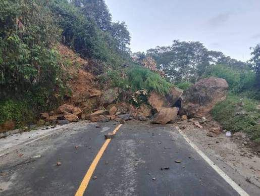
Jalan Poros Sungguminasa - Malino, Lonjoboko, Parangloe, Gowa, Sulawesi Selatan, Indonesia
In ProgressLandslide Incident • 13/9/2026
Jalanan tertutup...
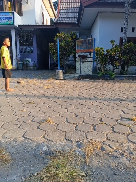
Kantor Desa Lonjoboko, Jalan Poros Sungguminasa - Malino, Lonjoboko, Parangloe, Gowa, Sulawesi Selatan, Indonesia
In ProgressLandslide Incident • 13/9/2026
Terjadi longsor.
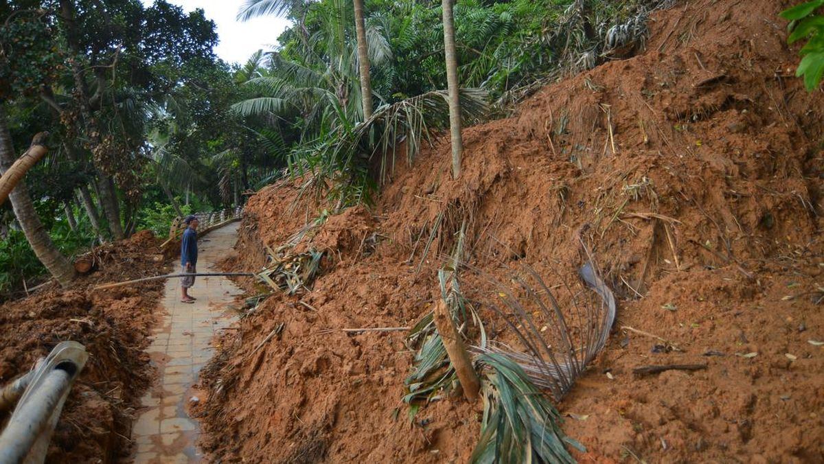
Jalan Poros Sungguminasa - Malino, Lonjoboko, Parangloe, Gowa, Sulawesi Selatan, Indonesia
In ProgressLandslide Incident • 12/9/2026
Terjadi longsor.
Village Condition Status
SAFE
Soil moisture and tilt sensors are within normal range.
Emergency Contact
- Village Emergency Post 0811-2233-4455
- Regional Disaster Agency (BPBD) 112
- Community Health Center 0822-3344-5566